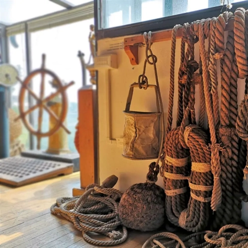
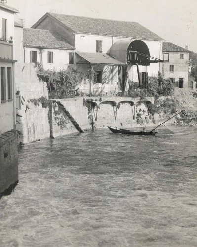
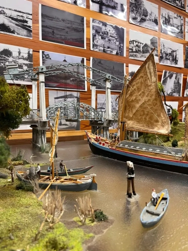
On the second floor, a wide selection of photographic images documents the territorial reality of Battaglia Terme in past centuries up to the 1970s. Alongside these, fine models reproducing river landscapes, scenes of daily life and hydraulic works are displayed, as well as models of boats loaded with goods and representations of traditional fishing activities and ancient professions.
Ancient Trades
Along the waterways one encountered millers, cariolanti (people who loaded and unloaded the holds of boats), sabionanti (quarrymen of sand from the riverbeds by means of the bailon), cavalanti (conductors of horses for towing vessels) and meadori (who measured and signaled the depths of canals). Also on display in the room are samples of the goods transported until the first half of the twentieth century.
The Navigation lock of Battaglia Terme
The protagonist of this room is the valuable model of the navigation lock of Battaglia Terme, a system of locks built in 1923 to create a direct connection between the Euganean area and Chioggia, still used today to overcome a water drop of about 7 meters.
Historical topography
The topographic maps on display illustrate the complexity of inland waterways in northeastern Italy. Of particular interest is the map showing the structure of the Bisatto Canal, built in 1139 by the people of Vicenza, the Battaglia Canal of 1201, and the Piovego Canal of 1209.